
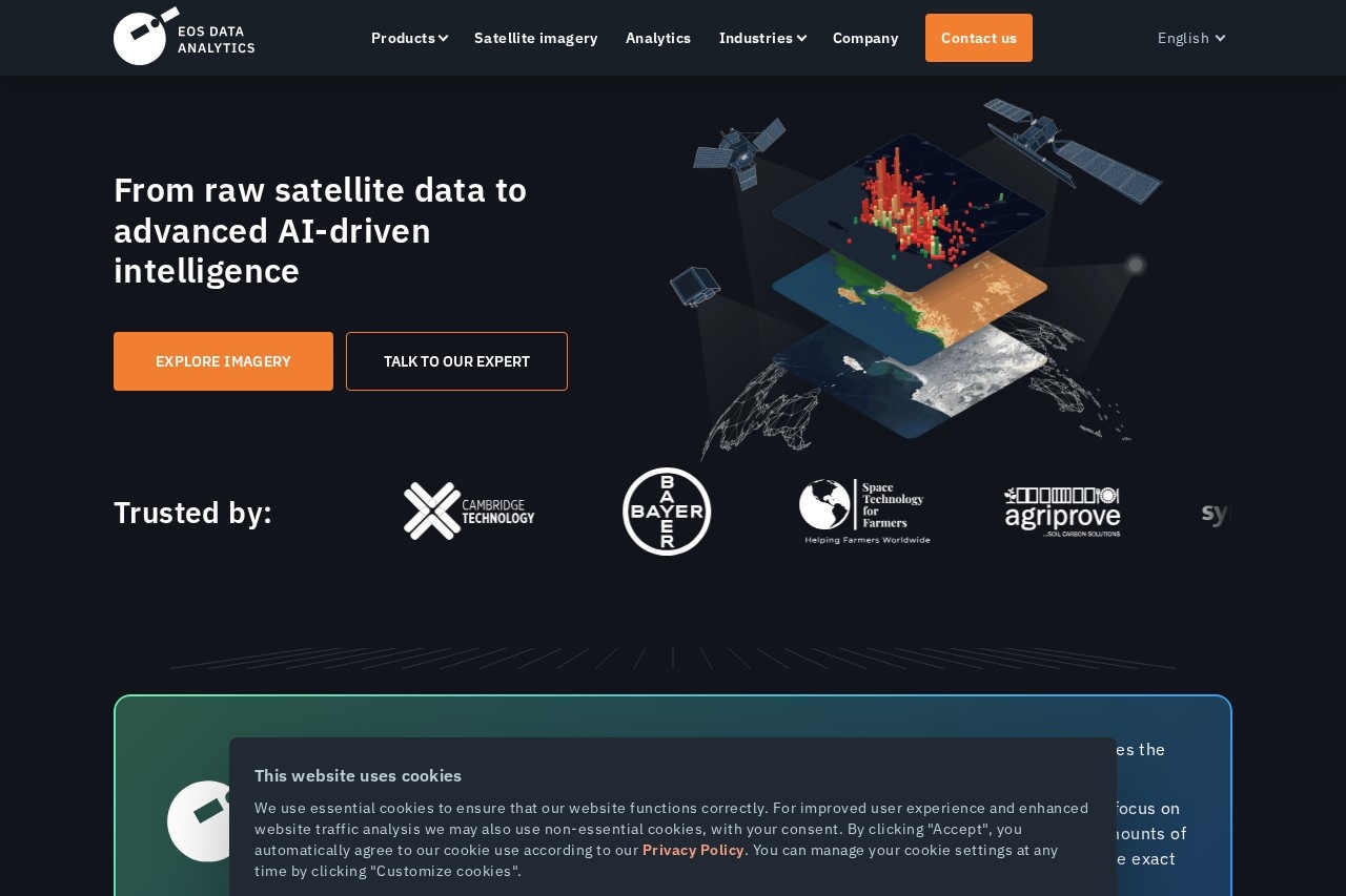
EOS Data Analytics (EOSDA) turns satellite imagery from its own EOS SAT-1 satellite and partner constellations into AI-driven insights for agriculture, forestry, and infrastructure.
About
EOS Data Analytics (EOSDA) is a global provider of satellite imagery and analytics that converts raw Earth-observation data into decision-ready reports and visualizations. The company addresses a common problem: organizations can access enormous volumes of satellite pixels, but turning that data into practical answers about crops, forests, infrastructure, or vessels is difficult without specialized tooling.
EOSDA operates its own satellite, EOS SAT-1, and supplements it with imagery from more than 20 partner constellations, covering optical, SAR, and thermal data at high and ultra-high resolutions. Its proprietary machine-learning algorithms process this imagery into products such as crop classification maps, yield forecasts, damage assessments, and change-detection alerts. The company packages this capability into three main platforms: LandViewer for searching and analyzing imagery in a browser, Crop Monitoring for precision agriculture, and EOS RayVision for tailored analytical reports. It also offers an API for developers and a carbon-focused solution, and can build custom analytics when standard offerings do not fit.
Key Features
Pricing & Fees
- Pricing: Not publicly listed on the pages we reviewed; check the official site for current plans.
- Satellite data sources: Combines the exclusive EOS SAT-1 data stream with more than 20 partner constellations offering optical, SAR, and thermal imagery.
- Sectors served: Agriculture and land use, forestry, critical infrastructure, disaster management, oil, gas and mining, maritime and logistics, urban planning, finance and insurance, security, and agro carbon markets (dMRV).
- Deployment: Platforms are cloud-based and run in the browser; a white-label version of Crop Monitoring is available for businesses that want to offer it under their own brand.
Who It's For
EOSDA serves farmers, agronomists, and agricultural consultants who need remote field monitoring, as well as food producers, insurers assessing claims, and NGOs tracking sustainable agriculture. Forestry managers use it to detect illegal clearing, while mining, oil, and gas companies monitor remote assets. Government and security teams apply it to border surveillance and disaster response, and financial or carbon-market organizations use its yield forecasts and soil-carbon assessments. Documented use cases include rice field mapping in Indonesia, flood damage analysis in Portugal, and soybean field checks for EUDR compliance.
FAQ
What is EOS Data Analytics?EOS Data Analytics (EOSDA) is a global provider of satellite data and AI-driven analytics that turns imagery from its EOS SAT-1 satellite and partner constellations into insights for agriculture, forestry, security, and other sectors.
Is EOSDA free to use?Pricing is not publicly listed on the pages reviewed. Some platforms, such as LandViewer and Crop Monitoring, offer free entry points on the official site, but current plan details should be confirmed there.
Which platforms and integrations does EOSDA provide?Its main products are the browser-based LandViewer, Crop Monitoring, and EOS RayVision platforms, plus EOSDA API Connect for developers who need programmatic access to raw and processed satellite data.
What data sources does EOSDA use?The company combines the exclusive stream from its EOS SAT-1 satellite with imagery from more than 20 partner constellations, covering optical, SAR, and thermal data at high to ultra-high resolution.
Can EOSDA be used for agriculture sustainability reporting?Yes. Its Crop Monitoring platform and EOSDA Carbon solution support carbon sequestration measurement, soil organic carbon assessment, and digital measurement, reporting, and verification (dMRV) for agro carbon markets.
Related Tutorials
View all →

Related Tools
View all → Devin | The AI Software Engineer Devin is an AI software engineer by Cognition that plans, codes, and ships PRs end to end — with parallel cloud agents, Automations, and deep GitHub/Linear/Slack integrations.
 Knit - AI Prompt Library A comprehensive library of AI prompts for various applications. Find the right prompt for your needs.
 LlamaIndex LlamaIndex connects data sources to LLMs, enabling efficient indexing and retrieval for AI applications.
 AI for Database AI for Database connects to operational databases so teams can ask questions in plain language, create dashboards, and run scheduled database workflows.
 Branded Branded is a market research participant recruitment platform that uses AI quality checks and programmatic API access to connect businesses with targeted consumer audiences.